


Related posts
Feature
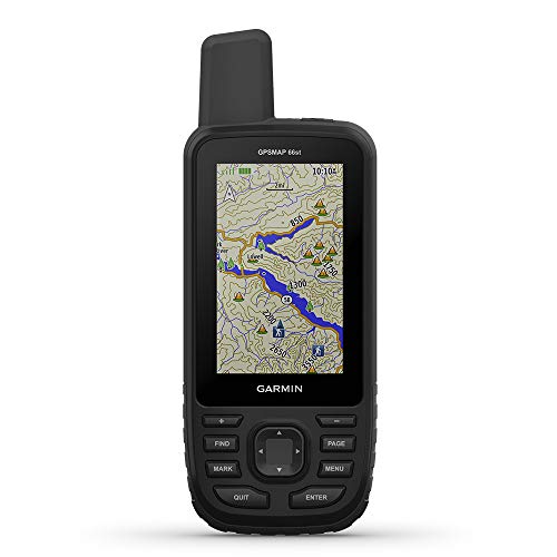
Premium GPS handheld with Birdseye Satellite Imagery subscription and TOPO mapsLarge, 3" sunlight-readable color display for easy viewing
Multiple Global Navigation Satellite Systems (GNSS) support to track your travels in more challenging environments than GPS alone plus three-axis compass and barometric altimeter
Access to Birdseye Satellite Imagery with direct-to-device downloads and no annual subscription and preloaded TOPO U.S. and Canada maps
Expanded wireless connectivity supports Active Weather for up-to-date forecasts and animated weather radar and Geocaching Live for mobile syncing and updates
Recent Comments